Genie Meets Street View: The World-Model Moat Shifts From Photorealism to Navigable Real Geography
DeepMind piped Google Street View into Project Genie. The bet is not prettier frames; it is a synthetic-data flywheel for robots and self-driving. But what shipped is a consumer demo, not a simulation pipeline.
Summary
DeepMind connected Google Street View to Project Genie, adding a Street View grounding capability to this general-purpose world model: pick a U.S. place and the world grows out of that real street imagery. The official demo is consumer-grade, letting you scuba dive under the Golden Gate Bridge with schools of fish, or render the Fort Worth Stockyards in Texas as a 1920s black-and-white film. The real bet is not in those creative filters.
What this step signals is a shift in where world models compete: from who generates the most realistic and interactive frames, to whose world anchors itself in real geography. The post says Genie already helped Waymo simulate hyper-realistic road environments, and wiring in Street View as a global geographic base points at a synthetic-data flywheel for robotics and self-driving. A cold splash of water first: what shipped today is an experimental prototype in Google Labs, a demo for AI Ultra subscribers, not a simulation pipeline. The direction of the capability is real; its maturity is obscured by the demo packaging.
What happened
Genie is DeepMind’s general-purpose world model, capable of generating diverse, interactive environments. The post says that since launching it has become a foundational tool for research, letting agents learn and reason in complex virtual settings, and that it even helped Waymo simulate hyper-realistic road environments.
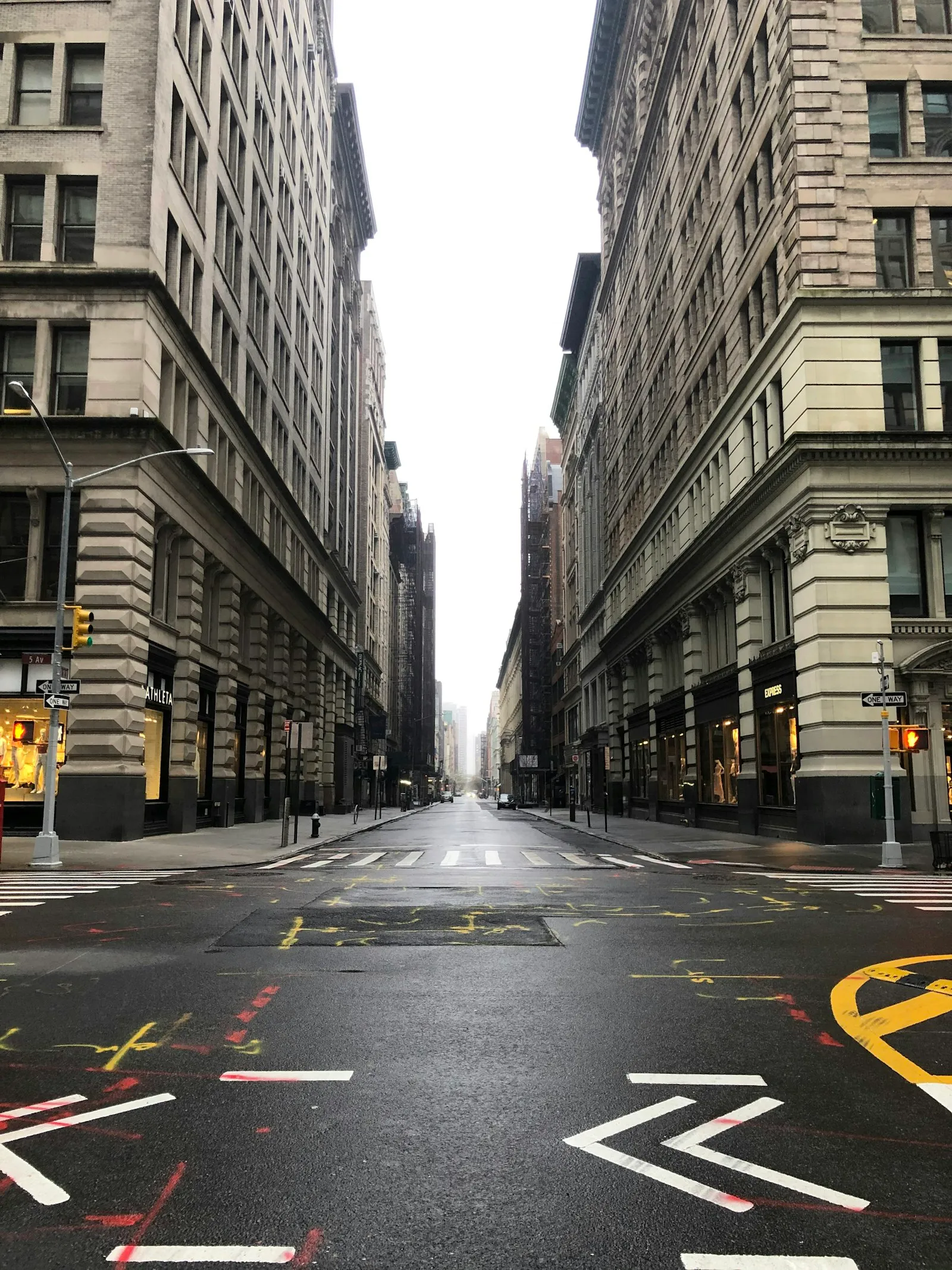
The new addition is Street View grounding. When building imaginative worlds in Project Genie, you can now base them on a real place: tap the Maps pin, choose a place in the U.S., optionally pick a style (such as “Desert Sands” or “Stone Age”), describe a character (a favorite animal, a comic book hero, even a claymation monster), and Genie creates a world whose starting location is tied to Street View’s real-world imagery. This runs on Maps Imagery Grounding, the same technology developers use to make AI visuals with Street View. The official examples: pick the “Ocean World” style to scuba dive among fish around the Golden Gate Bridge; pick the “B&W film” style to see the Fort Worth Stockyards as they might have looked in the 1920s, with saloons, vintage cars, and trading posts.
Two boundaries are worth keeping straight. Geography: Street View imagery covers U.S. places only for now, with expansion later. Access: Project Genie including the Street View capability is gradually rolling out to all eligible Google AI Ultra ($200/month) subscribers globally, 18 and up. It remains an experimental research prototype in Google Labs; the company says it is still sharpening details and accuracy and has posted the current limitations on its website.
Why it matters
For two years world models have competed mostly on generation quality: how sharp the frames are, how coherent over time, how natural the interaction. That race has a flaw. A world conjured from nothing, however good-looking, does not correspond to the real world. For a robot or a self-driving stack that has to operate on actual streets, “looks good” is nearly worthless; “matches reality” is what counts. Bringing in Street View changes the yardstick for a world model: not just does it generate convincingly, but is it anchored to real geography. That is a relocation of the moat.
Why a flywheel and not just a feature? One of the heaviest costs in robotics and self-driving is real-world data collection and scenario coverage. You cannot drive into every rare road condition, and you cannot drop a robot into every unseen room. Simulation exists to fill that gap, but traditional simulation needs someone to model the scene first, hand-building a street, a building, an intersection into an engine, which is expensive and slow. Street View’s value is that Google has already photographed a vast amount of the world’s streets, a ready-made library of real geography. Connect it to a world model that generates interactive environments, and in principle you can grow a navigable scene straight from a single street image, skipping the modeling step. The broader the coverage and the cheaper the generation, the more training scenes you can feed an agent. That is the embryo of a synthetic-data flywheel.
But be honest about the split here. The only real use case the post names is Waymo using Genie to simulate road environments, and that line is about Genie itself, not specifically this Street View grounding release. The Street View capability shipped alongside I/O shows only consumer creative scenarios, with no robotics or self-driving synthetic-data metrics at all. So the flywheel is strategic intent, the direction this move points at; it is not a turning, validated product. Separating intent from delivery is the key to reading this announcement.
Builder impact
If you build robotics or self-driving simulation, this is not your tool yet, but it belongs on your watchlist. There is no simulation API, no published physics fidelity, no action space, no reproducibility figures, the things that actually matter for synthetic data, and geographically it is U.S.-only. What you can evaluate today is a consumer creative demo. The pragmatic move is to track two signals: whether Genie shifts from “creative worlds” toward simulatable environments with physics and labels, and whether Street View grounding ships as a developer interface. Only once either happens does re-evaluating your stack become warranted.
If you work on world models or generative simulation itself, treat this as a competitive reference. It gives a clear answer: a real-geography base is the key asset for the next leg of world models, and Google holds Street View, a library others will struggle to replicate. If you have no real-imagery source of your own and compete on generation quality alone, your moat may be getting routed around by exactly this kind of “anchored in real geography” capability. When you judge your differentiation, put “where is my world anchored” into the calculus.
If you only want to read the trend: take this as a directional signal, not a product launch. It tells you what the next phase of world models is fighting over, but it is not yet a basis for engineering decisions.
What to ignore
Ignore the Ocean World, claymation, 1920s-filter demos themselves. They are consumer play for AI Ultra subscribers, a shop window for Street View grounding, not the core value of the move. Staring at the filters will make you miss what this step is strategically aimed at.
Ignore the inference that “Genie can already replace game-engine simulation.” The company published nothing that supports it: no physics fidelity numbers, no reproducibility data, no action-space description, and the one adjacent use case (Waymo) is vague. Game-engine sim remains the workhorse for robot training today on controllable physics, repeatability, and precise labels. Genie takes a different path, generating straight from real imagery. The two are not substitutes right now, and whether they become so depends on fidelity that has not been disclosed.
Avoid the opposite over-skepticism too, that “this is just a reskinned Street View filter toy with no significance.” Anchoring to real geography is a real technical direction, and Waymo using Genie for road simulation is a use case the company named. The issue is not whether the direction is real; it is that the maturity is hidden by the consumer-demo packaging. Calling it “right direction, not yet ready” lands closer to the truth than either “gimmick” or “revolution.”
FAQ
Which regions does Project Genie's Street View capability support?
Only places in the U.S. for now, with plans to expand to more places over time, but no timeline given. On access, Project Genie including the new Street View capability is gradually rolling out to all eligible Google AI Ultra ($200/month) subscribers globally, ages 18 and up.
Can Genie replace a game engine (Unreal, Isaac Sim) for robotics synthetic data?
Not now, though that is the direction it is aimed at. Game-engine sim wins on controllable physics, repeatability, and precise labels. Genie's pitch is generating a navigable environment straight from a Street View image, skipping the modeling step. But what shipped is a consumer creative demo with no published physics fidelity, action space, or reproducibility metrics, so talk of replacement is premature.
Why did DeepMind put Street View into a world model?
To anchor generation in real geography. A purely generated world, however realistic, is invented from nothing, and robots or self-driving systems need environments that correspond to the real world. Street View supplies real street imagery already captured worldwide, giving the world model a ready-made, broad geographic base.